Phase 1 Besisahar - Chame
Wouter Martens
Phase 1: Besisahar – Chame (5 Days)
If you depart from Pokhara, you can take a bus that leaves very early in the morning heading to Besisahar. I had decided to start walking immediately from Besisahar, and it turned out to be a great decision. If you have the time, I advise everyone to walk as much as possible and not take a jeep to the more distant villages. The beginning of the ACT is beautiful and still peaceful because most people in groups and with guides start higher up. This way, you can get into your walking rhythm and enjoy the stunning landscapes lower in the valleys and the warmer weather.
Stage 1: Besisahar – Ngadi (13.3 km)
After a wonderful lunch in Besisahar, I began my adventure. For the first time, I started a long hike with a heavy backpack on my back and all by myself. I had hiked alone before, but that was usually just for one day with a small backpack containing supplies for that day. I quickly realized that the heavy backpack didn’t bother me at all it simply became one with my back, and I didn’t think about the extra kilos (10 kg in my case) anymore.
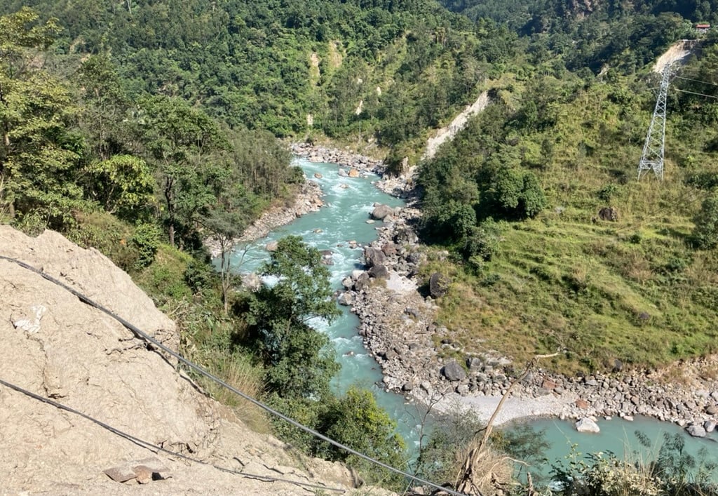
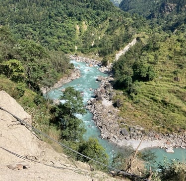
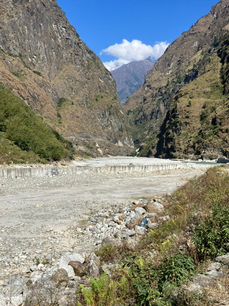
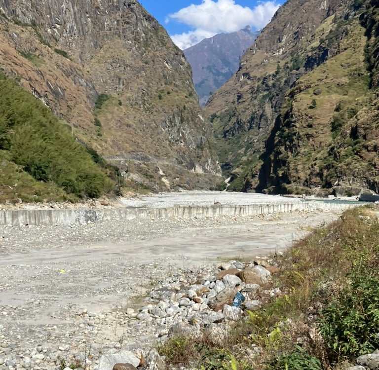
It was still wonderfully warm, so I was still wearing my summer outfit. I walked to the end of Besisahar’s main street, then turned right and went down to cross the first bridge over the Marsyangdi River. Two branches of this river come together in Besisahar, and after the bridge, you walk a few meters on a new road that the jeeps take towards Chame.
Almost immediately, I was joined by a sweet Nepali boy on a bike who questioned me about my plans. After a kilometer, you cross another suspension bridge. On the other side, the ACT hiking trail begins. You can always continue on the jeep road, but usually, there’s a beautiful hiking trail on the other side of the river without any cars, which is much more pleasant to follow.
Since the first day only started after lunch, I hadn’t planned a long stage, but my goal was the village of Ngadi Bazar next to a small reservoir. During the first climb, I lost the boy on the bike, but I soon met a couple who had also just started the ACT. For the rest of the afternoon, we walked together along the path, which first climbed steeply and then descended back to the river, leading us to a first waterfall on the right side by the end of the afternoon.
I decided to eat and sleep in the next village after a stage of 13.3 km with 581 meters of elevation gain, ending at an altitude of 914 meters.
Stage 2: Ngadi – Jagat (16 km)
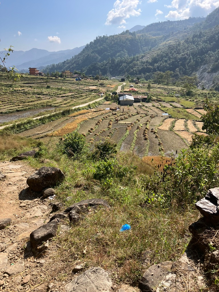
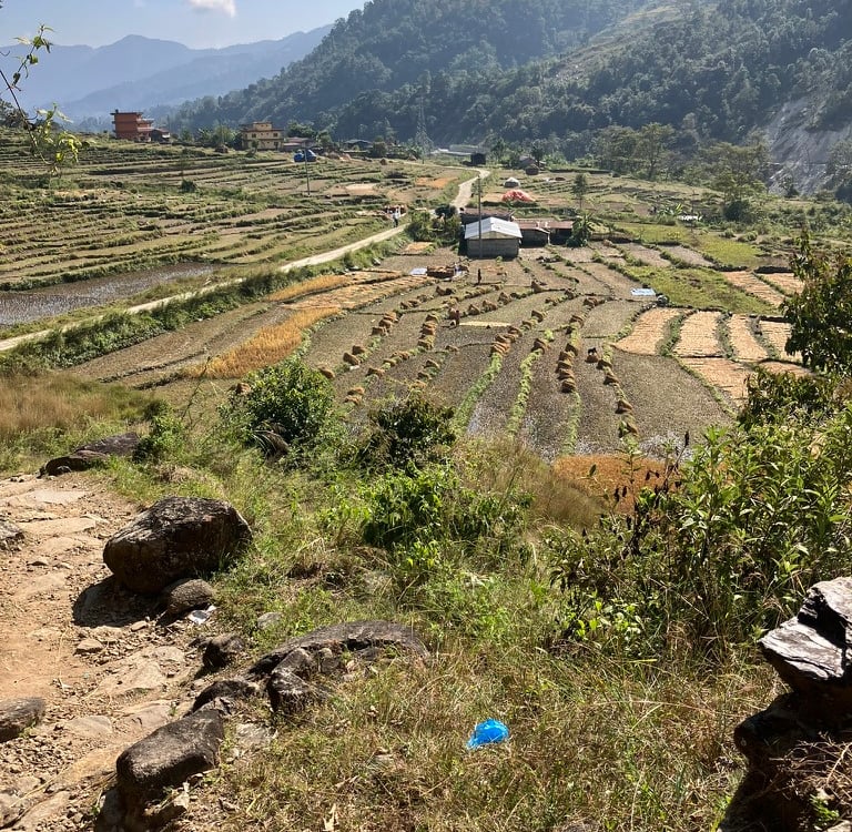
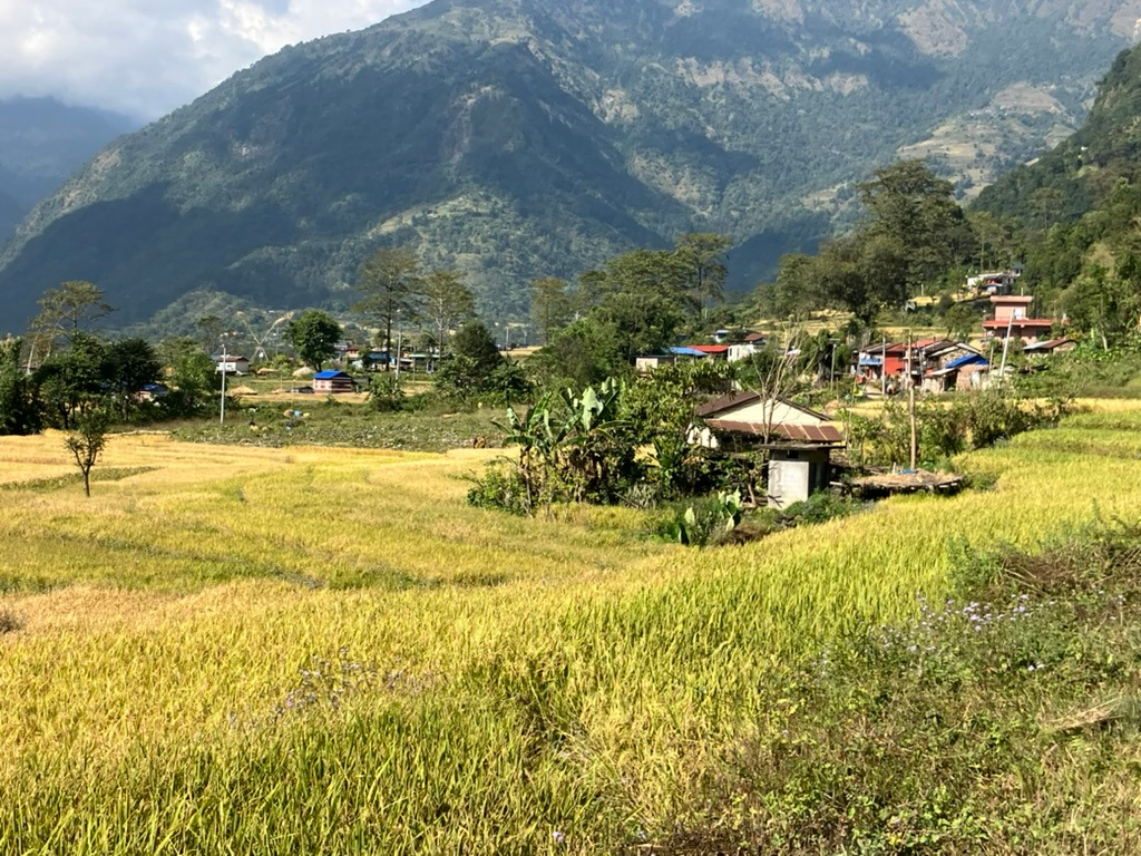
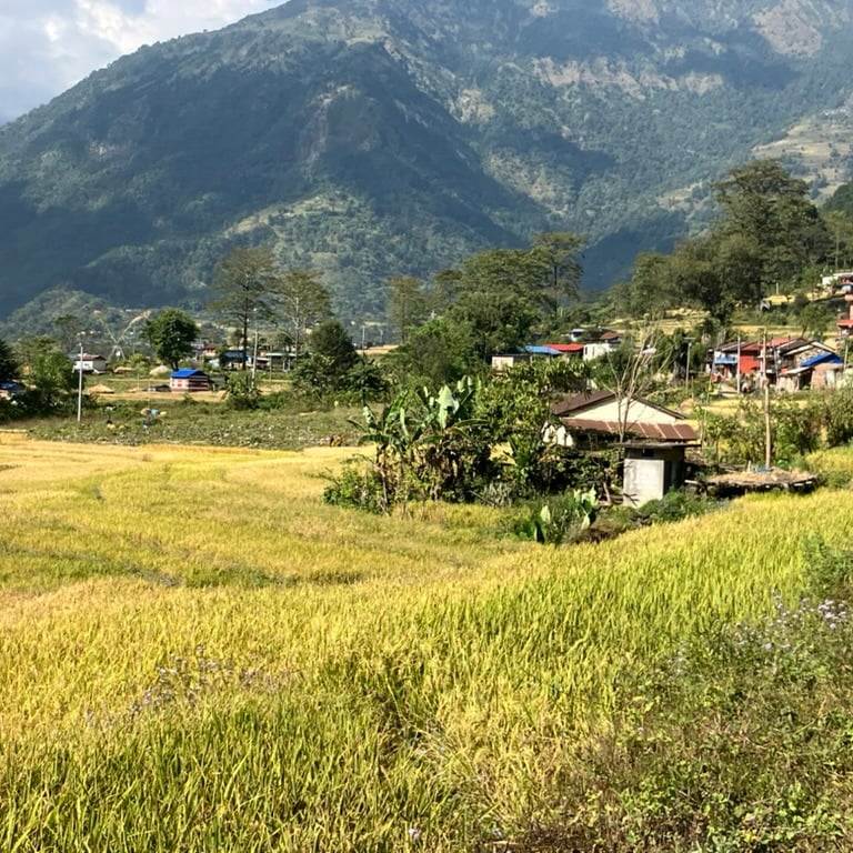
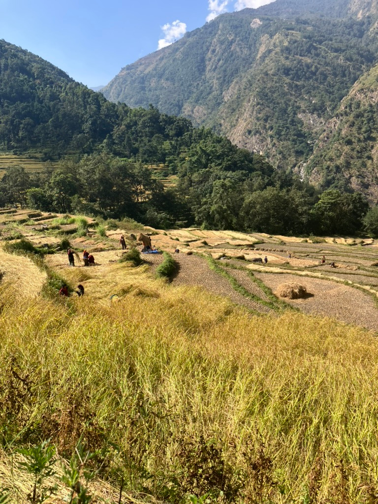
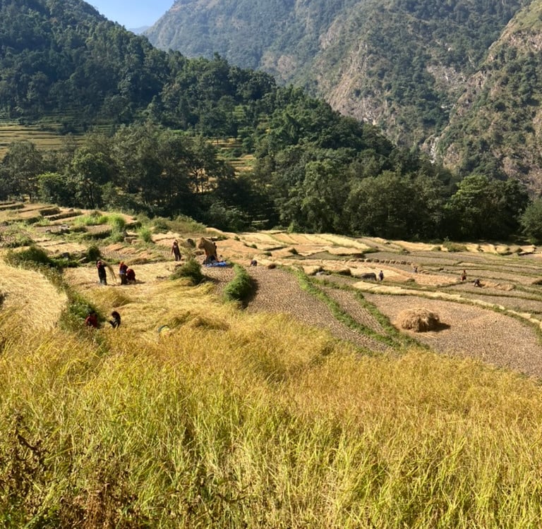
After a delicious breakfast, I packed my things and set off for Stage 2 toward Jagat. Along the reservoir, I was greeted by schoolchildren walking toward me. After the village, you can go around the hill either to the left or right, and I chose the right path via a narrower trail. First, it went uphill, then down via a ridge toward the river. After that, the trail turns away from the river as you climb past many rice fields and through a beautiful village called Bahundada, with viewpoints on both sides.
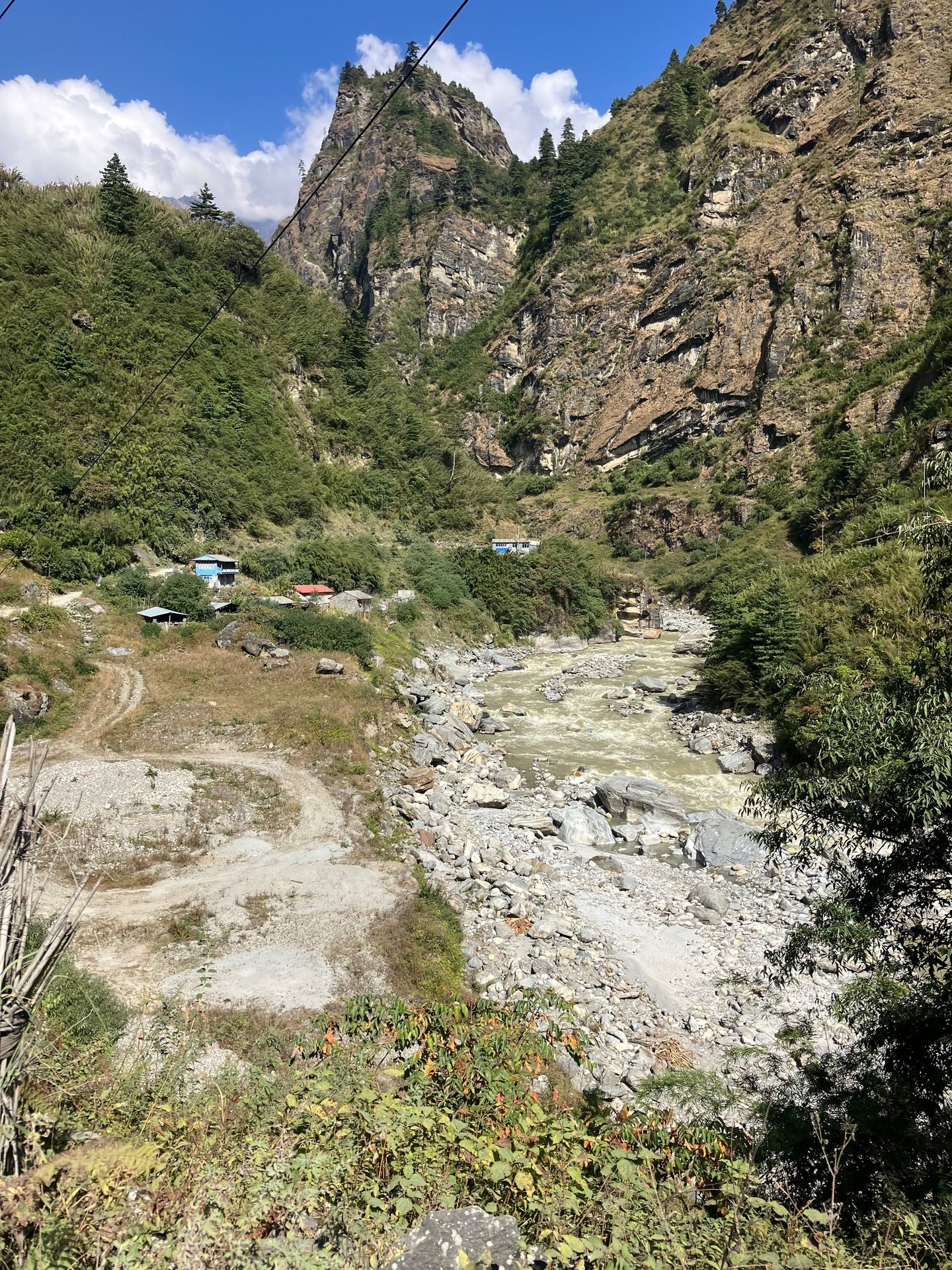
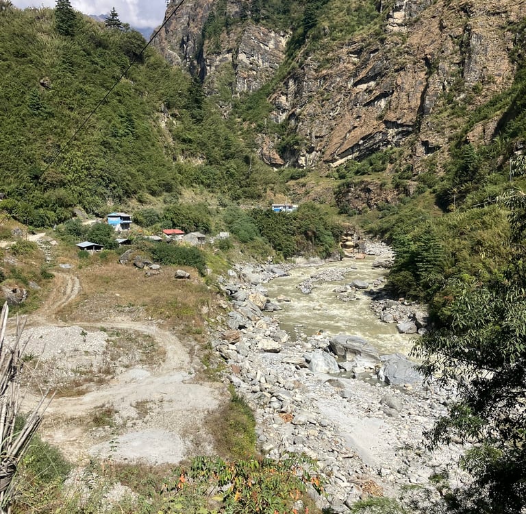
Occasionally, I saw a few other hikers, and I even met my friends from the previous day along the way. Descending through the beautiful rice fields, I found a quiet spot for a Dal Bhat lunch in a colorful place. After lunch, I continued and soon had to cross the river for a short stretch on the main road. At the next village, I found another bridge leading to the more beautiful path on the right side of the river. This was a shorter stretch, and soon I had to take another bridge to the other side.
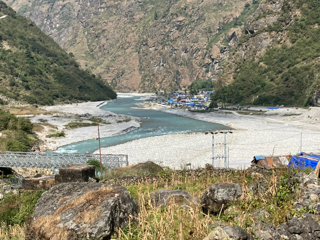
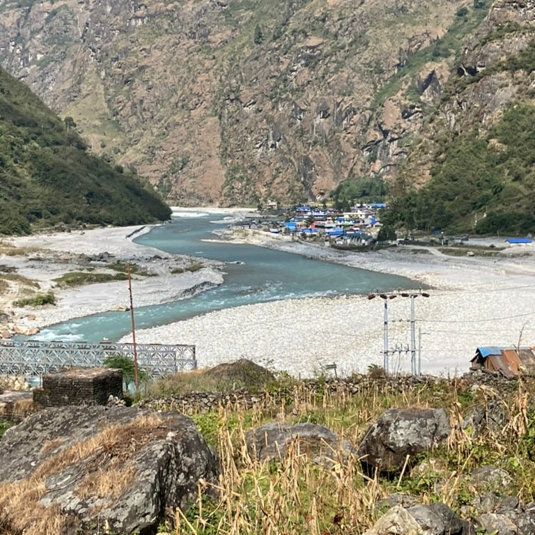
After that, there was a significant climb toward the main road, from where I could soon see the colorful village of Jagat in the distance. I found a nice room there and descended to the hot springs to let my muscles rest in the hot water next to the cold, rushing river.
Jagat was reached after 16 km with 942 meters of elevation gain, ending at an altitude of 1,314 meters.
Stage 3: Jagat – Tal (10.7 km)
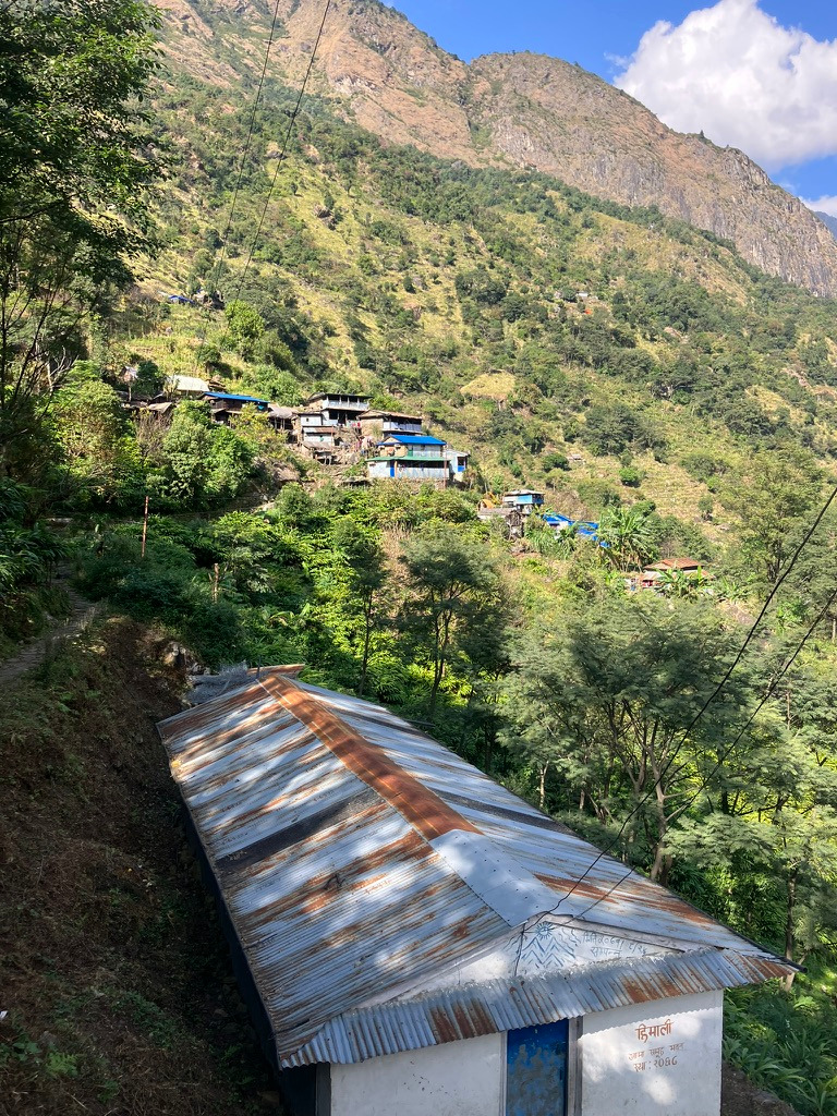
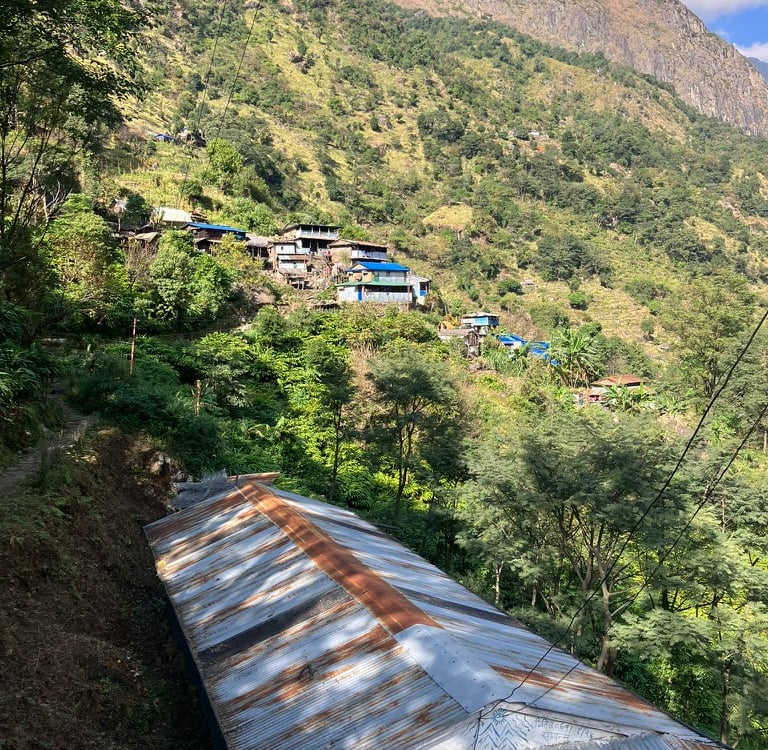
After a good breakfast and a game of chess with a fellow hostel guest, I set off for Stage 3 of the ACT. The first part started on the main road on the left side of the river. Within a kilometer, you can take a beautiful hiking trail uphill on the left side. Via a steep trail, I quickly reached a good height and walked through two beautifully located villages, Purat Jagat and Naskuche. The path was well-traveled and remained relatively stable after the first climb. It runs a few hundred meters above the river on the left side until Chamje, where you descend back toward the main road.
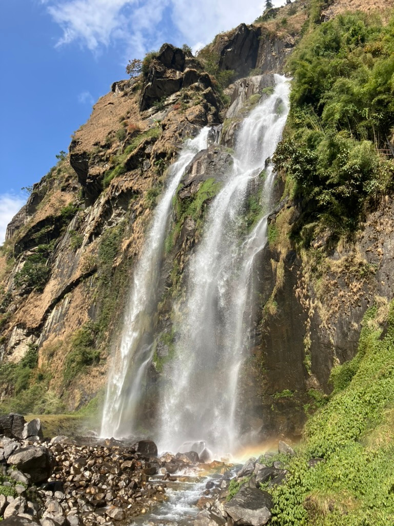
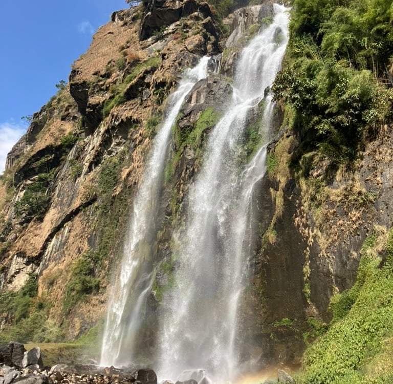
In Chamje, I crossed the river again to the right side for a beautiful trail along steep mountains on the right and a layered river with waterfalls on the left toward Tal. Next to the large waterfall, I climbed up significantly again. At a great viewpoint, I found a sweet woman who prepared a Dal Bhat for me in a small hut while I enjoyed the view of the waterfalls and the valley.
After lunch, I climbed the last stretch and then ended up on a plateau where the valley is wider, with a large stone riverbed on both sides of the river. On the right side, I immediately saw the village of Tal. Behind the village, on the right side, there’s a beautiful waterfall, and after inspecting it, I decided to stay the rest of the afternoon in Tal because I wasn’t feeling completely fit.
Sitting on a rooftop terrace, I read my book in the sunshine. Since I had all the time, it was wonderful not to have to rush and be able to stretch out the hike. So, this day’s walking ended after 10.7 km in Tal, with 850 meters of elevation gain at an altitude of 1,750 meters.
Stage 4: Tal – Danakyu (12.9 km)
After a wonderful breakfast, I set off for the fourth stage of the ACT along the riverbed. The hiking trail on the right side had collapsed, so I crossed a bridge and walked on the stones of the riverbed to the other side to follow a section of the jeep road.
After about an hour on the jeep road, there was another bridge to cross to the other side near the village of Nache. A short, beautiful hiking trail brought me to the next bridge towards the left bank at the village of Thonje. There, I took a break and enjoyed lunch. There was also a checkpoint in the village where they checked if I had an ACT pass for the first time.
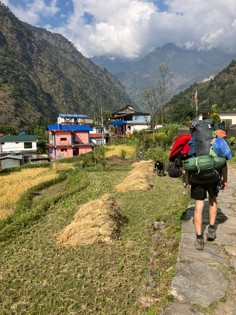
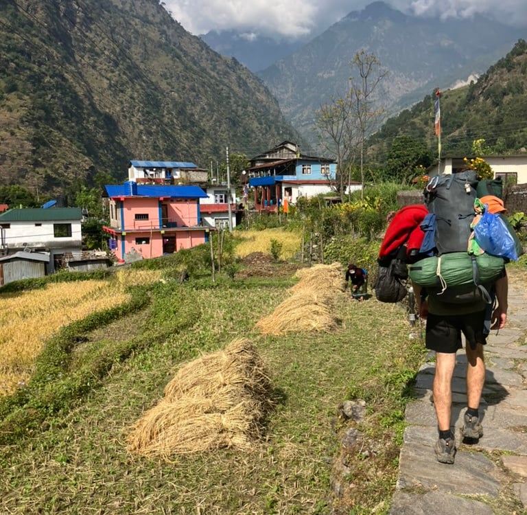
After the Dal Bhat lunch, I continued and took the steep route to the left of the dirt road toward the village of Odar. This was a very beautifully located village with a stunning but steep path leading to it. Past the village, where I was cheerfully greeted by the local residents, I walked down the concrete stairs toward Bagarchchap, a slightly larger village with a few temples.
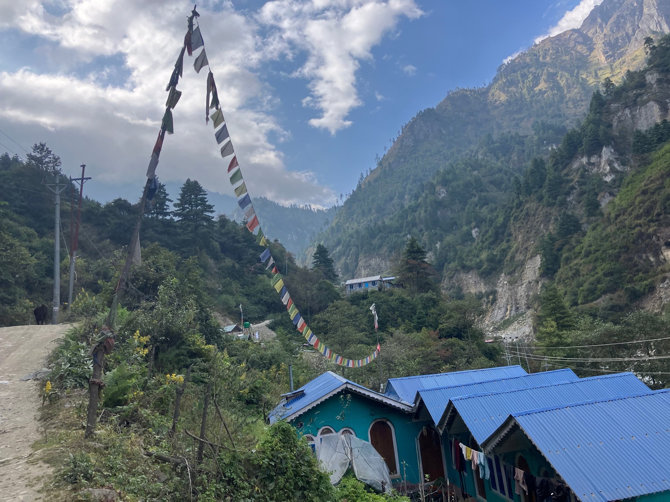
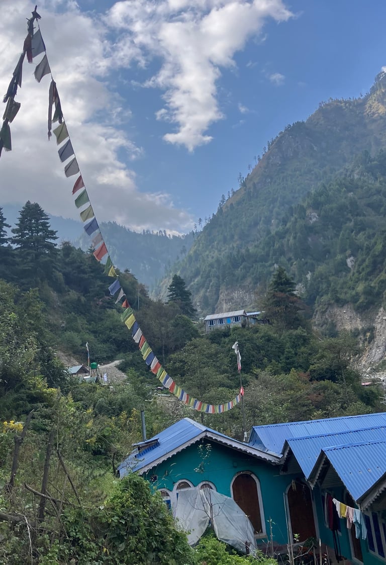
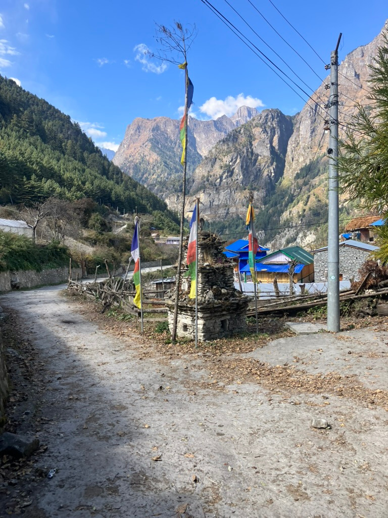
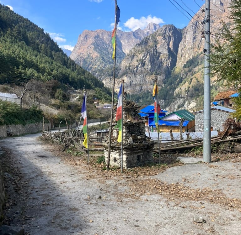
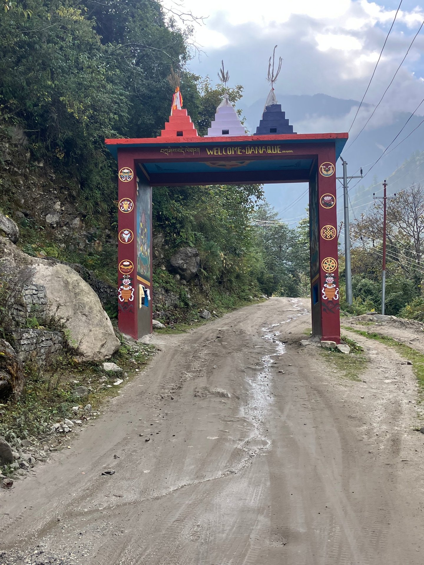
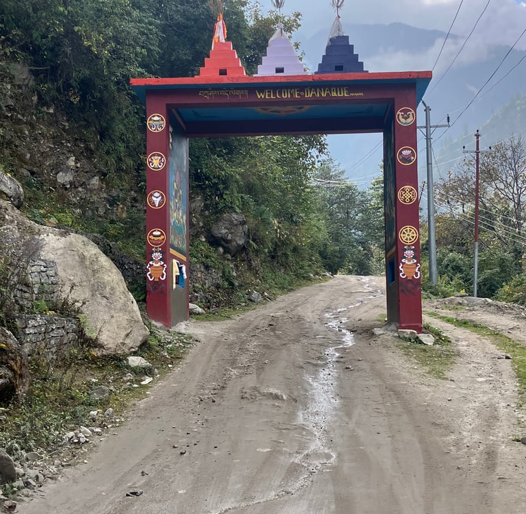
On the right side of the jeep road, I found the hiking trail again, which I took to today’s destination, Danakyu. I had read somewhere that the food was better here, and I stayed in a very hospitable pink homestay with indeed very tasty food. Every village has a cute arch with beautifully painted gods to welcome you, and Danakyu’s has one of the better ones.
It was a quiet day with not too much climbing. I had covered almost 13 km and ended at an altitude of 2,160 meters after 600 meters of elevation gain.
Stage 5: Danakyu – Chame (12.8 km)
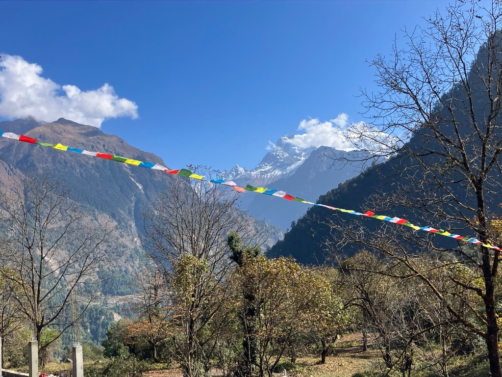
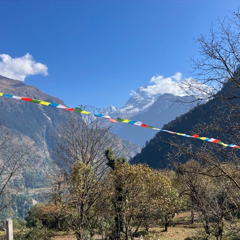
Around 9 a.m., I set off from Danakyu, which is beautifully nestled in the valley with mountains situated on all sides and a stunning view of the rising Himalayas to the west. After the village, I immediately faced a steep climb with several hairpin bends, where construction workers were busy building a lift to haul materials upward.
After crossing a long suspension bridge over a tributary, I found a beautiful forest path on the left side of the jeep road, high above the Marsyangdi River. It was the first morning I wore an extra layer, as it was getting colder. Throughout the day, I could feel that I had already reached a considerable altitude.
After the forest, I arrived in the village of Timang, where a football match was taking place between two local teams. From Timang, there was a breathtaking view toward the east and the white mountains of the Manaslu range. Since it wasn’t lunchtime yet, I continued at a leisurely pace along the jeep road toward Tanchok. I walked through there as well and, in the next village, found a kind old man who was happy to prepare a Dal Bhat for me.
After lunch in Koto, I had to show my ACT hiking pass again at a checkpoint, where I met some friends I had encountered on the first day. Together, we walked the last stretch toward Chame, and for the first time, we could see one of the Annapurna peaks in the distance. A giant eagle also soared above us, as if guiding the way.
Upon arriving in Chame, we found a nice room at the end of the village by the river, near the hot springs, where we could stay and eat. We quickly took advantage of the hot springs, which were still in sunlight before it disappeared behind the mountains. After dinner, we slept wonderfully to the sound of the rushing Marsyangdi River. After 12.77 km and nearly 800 meters of elevation gain, we slept at an altitude of 2,670 meters.