Phase 2 Chame - Manang
Wouter Martens
Phase 2: Chame – Manang (5 Days)
The second phase of the ACT began. The lowlands were now definitively behind us, and we were slowly ascending above the tree line. The mornings were getting progressively colder, and wearing just a T-shirt and shorts was no longer an option. The hat and long sleeves had to come out of the bag.
In the morning at breakfast, my friends and I decided (without even discussing it) to continue walking together for the time being. After all, we had roughly the same pace, and I enjoyed the company and the occasional opponent for a game of chess. They were an American/French couple who hadn’t known each other for very long but were already traveling together for a few months.
Stage 6: Chame – Upper Pisang (17.1 km)
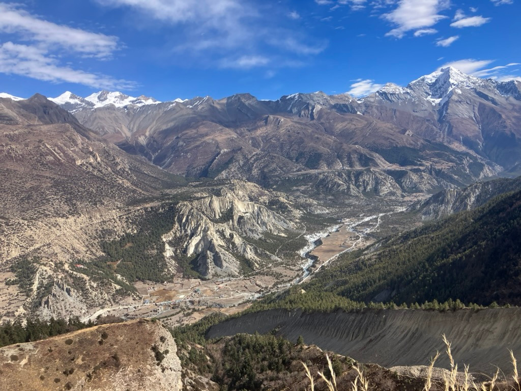
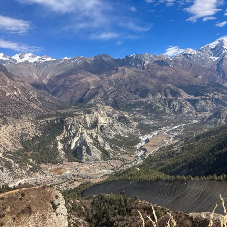
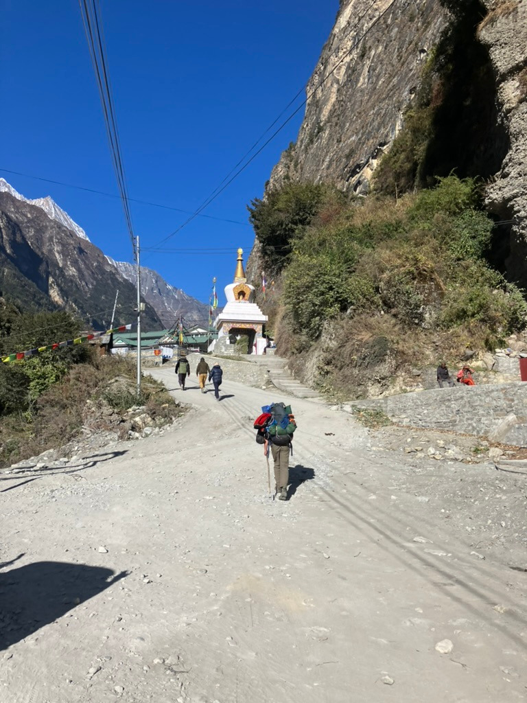
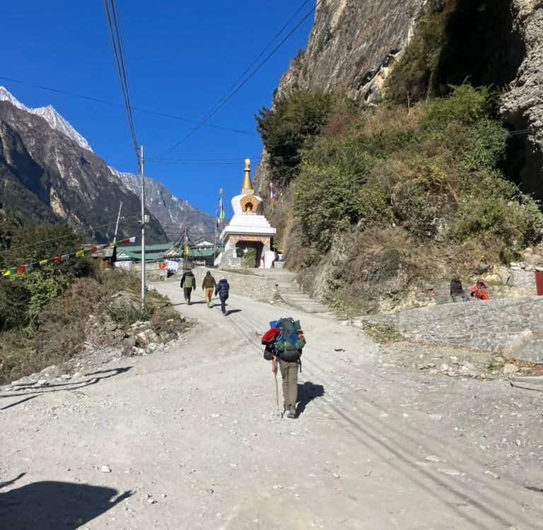
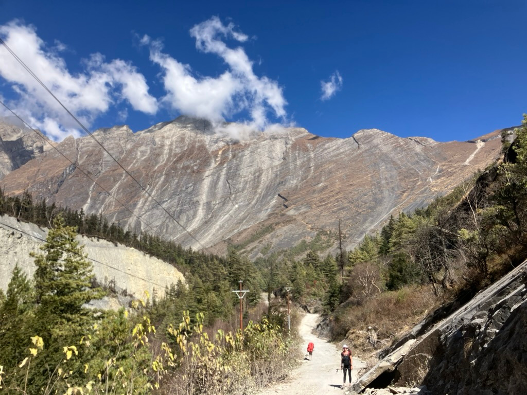
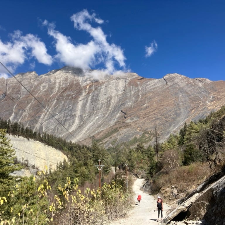
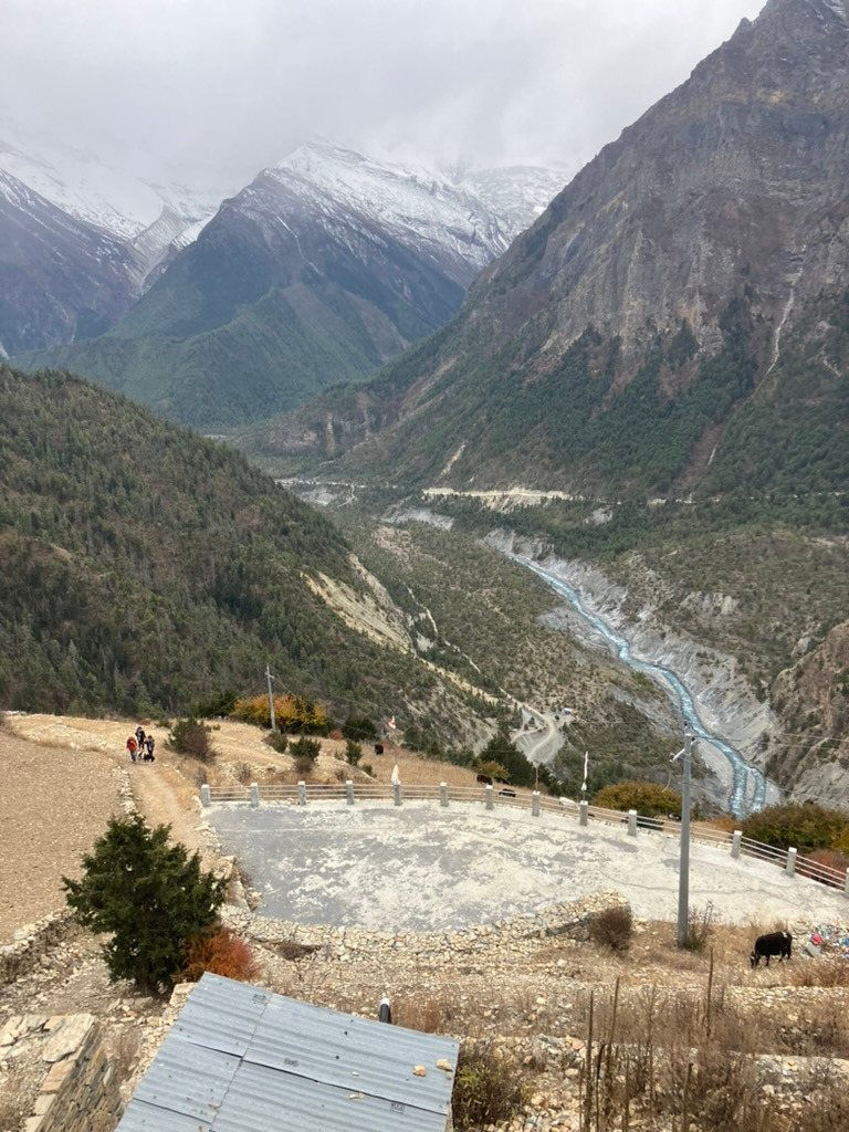
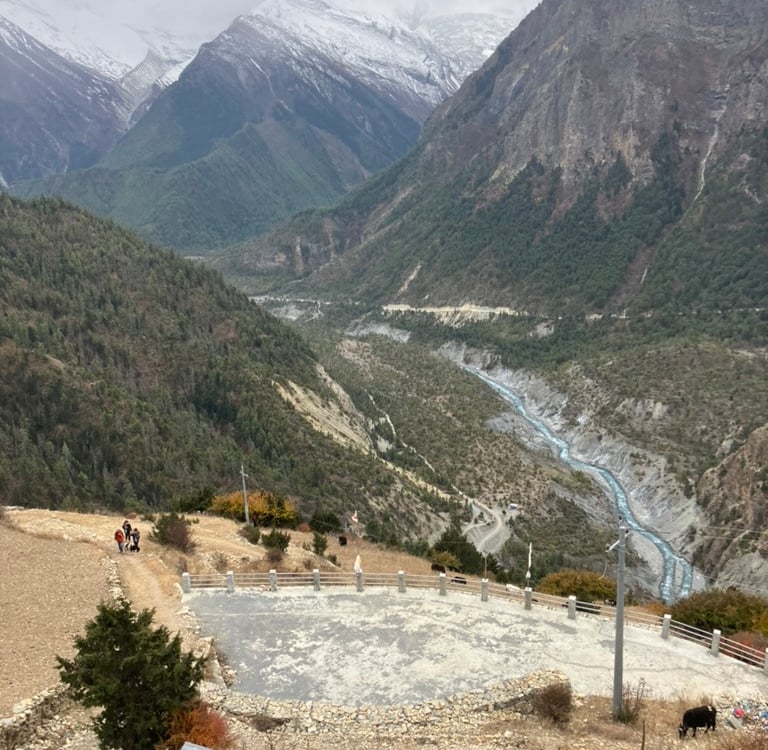
On the right bank, we walked out of the village along the jeep road through a coniferous forest. Not far above the river, we climbed gently, never getting really steep. After an hour, we had a view of a large waterfall on the other side of the river. Half an hour later, we reached the highlight of the day: the apple farm of Bhratang! Divine apple pies and tea were enjoyed, and many hikers rested outside in the sun, making it look cozy.
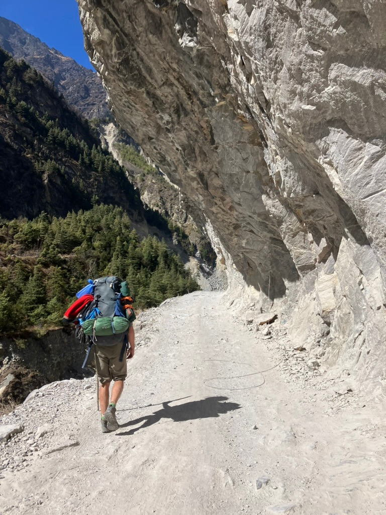
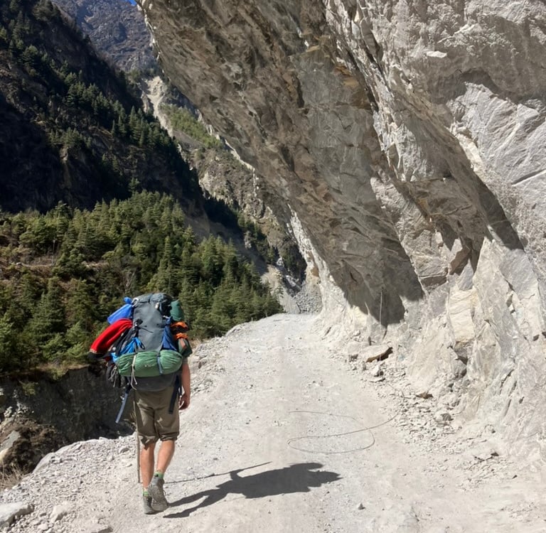
After this, the landscape changed. The path led along a section of carved rock, and the GPS on my watch couldn’t make sense of it because there was still a lot of rock above me. Then, the wall of Pisang came into view, a fairly impressive, straight ascending stone wall without vegetation that seemed to have been placed there. On the left side, the hiking trail rose steeply, while on the right, the jeep road ran. Both paths came together in the village of Swardgadwari.
On a rooftop terrace, we calmly enjoyed a fine lunch in the sun. When the sun disappeared behind the mountains, we set off for the last part of the stage to Upper Pisang. After the village, we took the hiking trail to the right over the bridge on the other side of the river. We still had to climb a few hundred meters, but it wasn't really steep. The path led through some low vegetation, and alternately, we walked in the sun and shade before the sun definitively disappeared behind the Annapurna mountains.
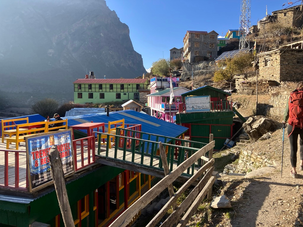
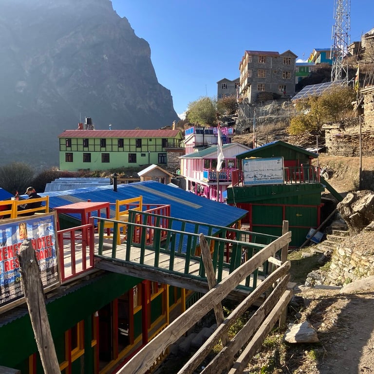
Not much later, we arrived in Upper Pisang and found a nice place to sleep. From my room, I had a magnificent view of the Annapurna II peak. For the first time, we enjoyed our meal indoors and used the stove to stay warm. In Upper Pisang, I arrived after 17.15 km at an altitude of 3,290 meters, with about 900 meters of elevation gain that day (though the GPS wasn’t very reliable).
Stage 7: Upper Pisang – Bhraka (16 km)
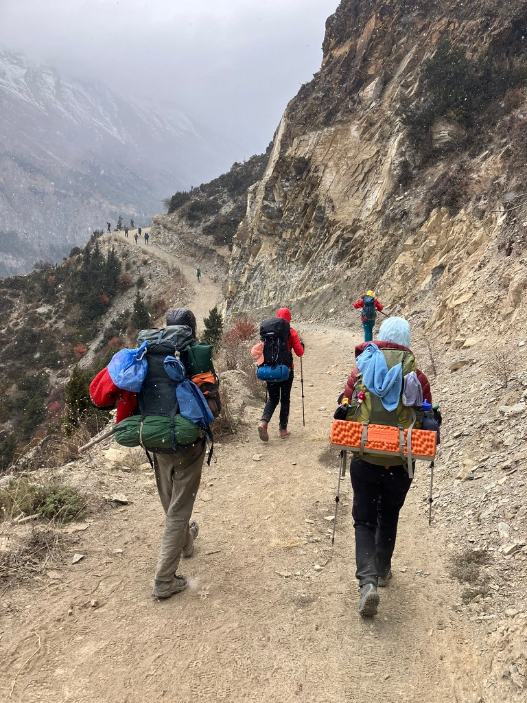
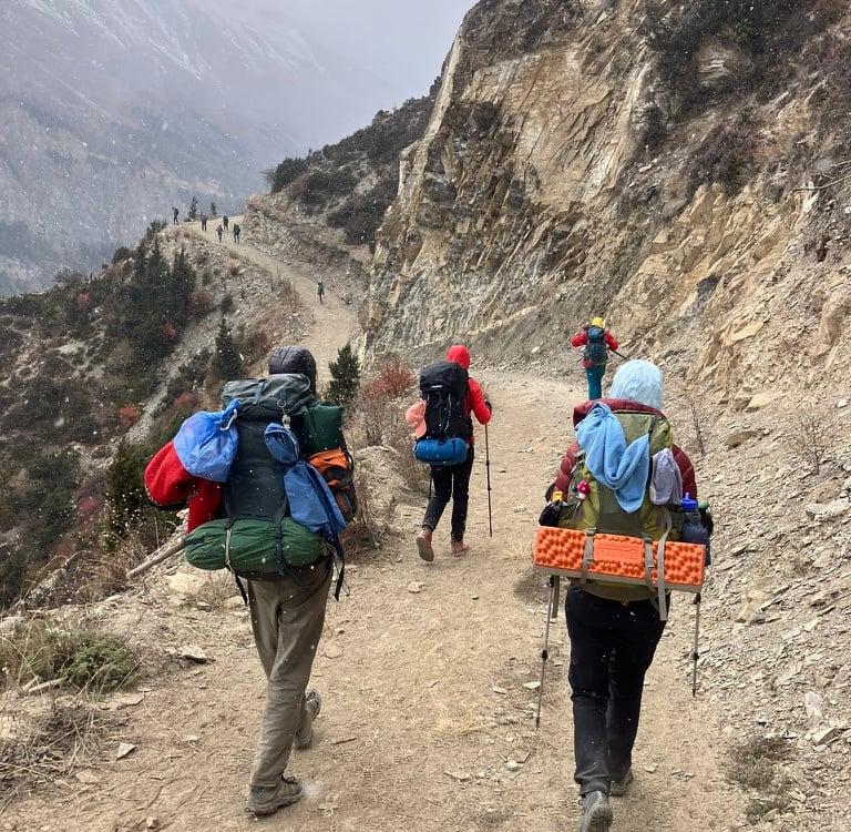
When I woke up, there was a stunning view of Annapurna II on the other side of the valley, framed by the colorful houses of Upper Pisang. After breakfast, my friends and I set off toward Bhraka. The first 4 km were relatively flat along a beautiful narrow path, with rising mountains on the right and the valley on the left.
Occasionally, we encountered yaks on the trail, seemingly wishing us a pleasant day. On the left side, we soon spotted the green lake in the valley. After a turn to the right, a steep climb loomed ahead toward Ghyaru. It was the first day that was completely overcast, making it quite cold even during the day. We saw multiple groups of hikers with guides climbing upward toward Ghyaru.
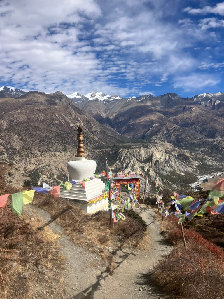
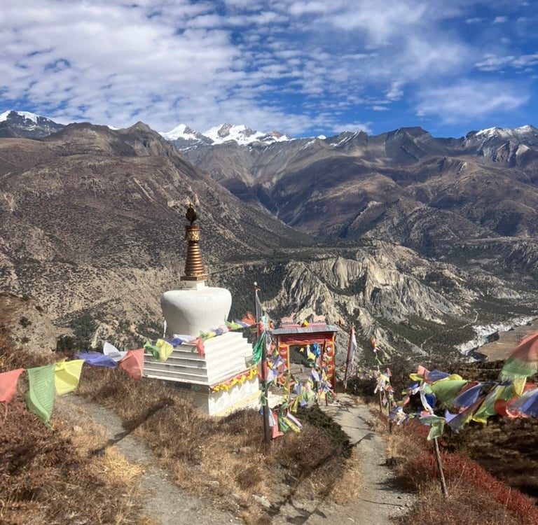
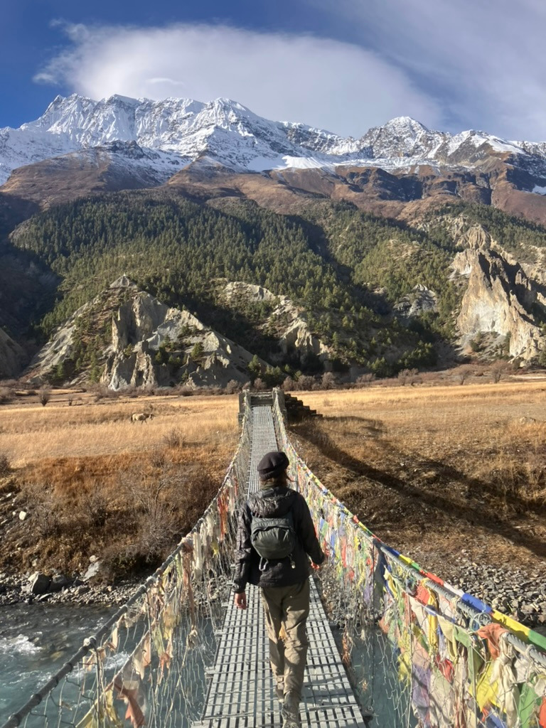
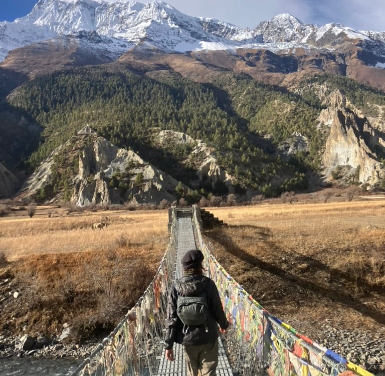
After passing a wooden temple and a suspension bridge, the real climb began. On a zigzag path, we ascended more than 400 meters in just 1.5 km. The reward at the top was a breathtaking view, a beautiful Buddhist temple, and a warm chocolate drink with apple pie. After warming up a bit, we continued on a slightly wider path high above the deeper valley, with stunning views to the left toward Pisang and to the right toward Manang. We could also see the Manang airport near the village of Humde.
We stayed at roughly the same altitude and arrived around noon at the village of Ngwal, where we enjoyed lunch while giant birds of prey circled above us, also searching for a meal. After lunch, we descended a bit and then walked through the wider valley toward Bhraka alongside the river.
Just before Bhraka, we saw a large herd of yaks crossing the river to the other side. In Bhraka, we found a wonderful place to stay with a large stove, warm hot chocolate, and good Dal Bhat. We had walked 18.5 km with 770 meters of elevation gain, and despite having been at nearly 3,800 meters in Ghyaru, we slept in Bhraka at 3,480 meters.
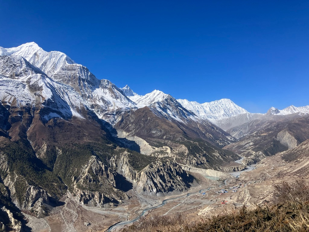
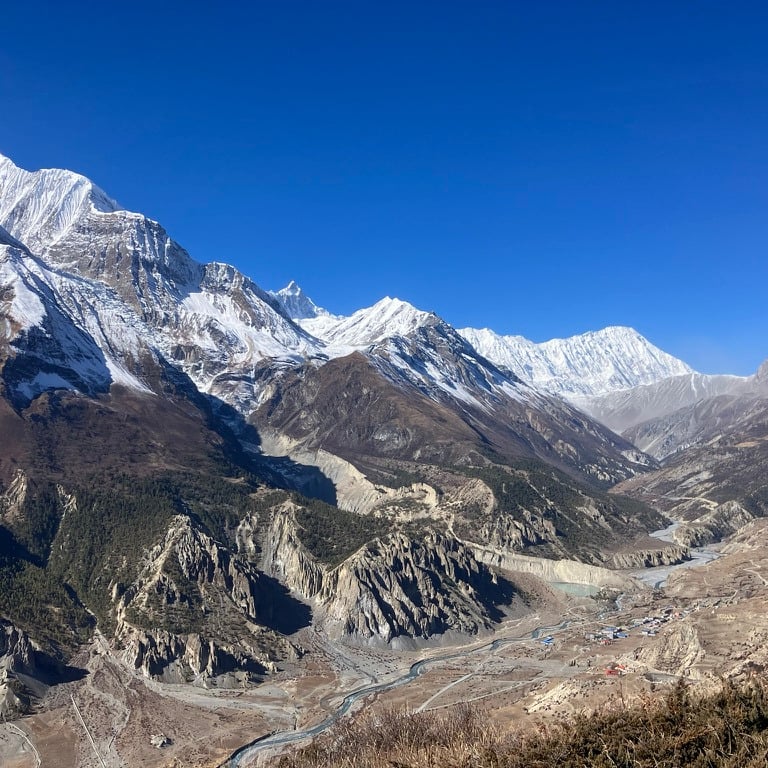
Stage 8: Bhraka – Khicho Lake – Manang (14.5 km)
All the clouds had disappeared, making it feel cold in the morning, but everything looked truly magnificent. Today’s mission was to climb well above 4,000 meters for the first time and visit Khicho Lake before taking a rest day in Manang. Khicho Tal, or Ice Lake, isn’t on the main route, so it was a side mission, but one that proved to be absolutely worth it.
The path to Khicho Lake began on the other side of Bhraka and was almost immediately ascending steeply. At first, it felt like we were going in the wrong direction, but then it turned left and climbed sharply northward. When we looked back, we saw the valley growing deeper and deeper, with the Annapurna mountains and their white peaks on the other side.
It was perfectly clear, and we could see further and further in all directions. We climbed approximately 200 meters every kilometer. Khicho Lake is 6 km from Bhraka and sits at 4,600 meters—much higher than we had been so far. Starting at 4,000 meters, I began to feel the altitude. Walking became a bit slower, and there was clearly less oxygen available. Fortunately, I didn’t get a headache or nausea, but it was definitely noticeable that we were reaching very high into the mountains.
We walked slowly and took good breaks, enjoying the views in all directions. Along the way, we passed a few spots where food was normally available, but it was Sunday, and they were apparently closed. We had to rely on our own provisions. After 3 hours of climbing, we reached the small front lake and shortly after, Khicho Lake itself.
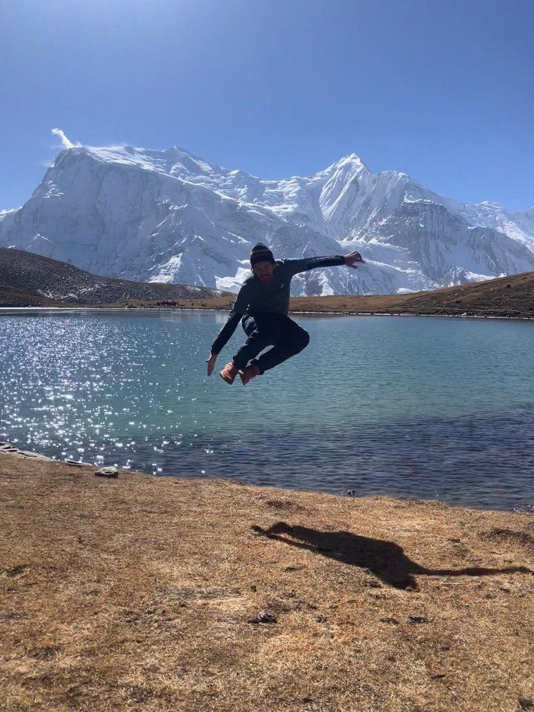
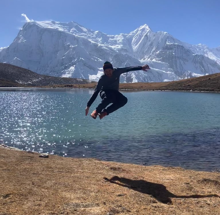
Along the way, we had seen fresh snow in some shaded spots that had fallen the previous night, and the lakes were quite frozen, though the sun was already heating it back into water. At the lake, we first caught our breath, then walked half a lap around it for the best photos. Afterwards, we took the same path back down as we had walked up.
Halfway down the descent, one of my friends cooked a delicious, simple lunch on his camping gear: yak cheese, rice, and some fruit. It was one of the best lunches ever, thanks to the view and the fantastic adventure.
After 6 km of descending, we walked back into Bhraka but continued along the river toward Manang. Manang soon loomed ahead, and we found a nice hotel to rest a bit after the first week of the Annapurna Circuit. The maximum altitude today was 4,630 meters, and we walked 14.58 km with 1,252 meters of elevation gain. Manang sits at 3,550 meters and is a charming mini-city where many hikers take a rest day to better acclimatize to the altitude.
Stage 9: Milarepa Cave (12.4 km)
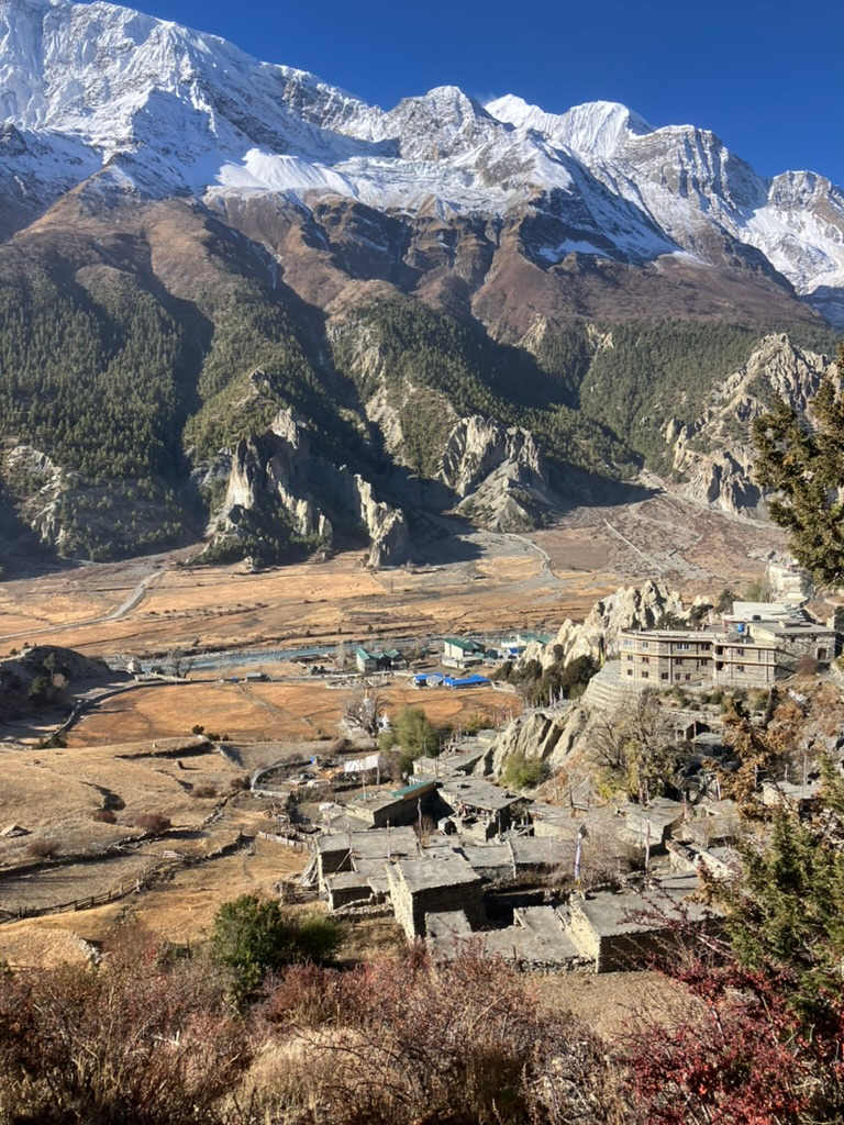
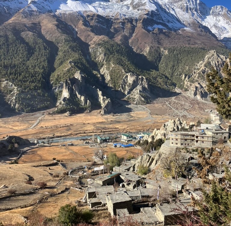
After a rest day spent exploring the town of Manang and walking to Gangapurna Lake next to Manang, my group decided to stay another day in Manang, but with a nice morning hike to Milarepa Cave. Together with one hiking companion, I walked out of Manang through the gate we had taken two days earlier to enter, heading down toward the river.
Just past Bhraka, we took the bridge to the right to the other side of the valley and walked toward the mountains. Then, we took the small road that climbed up with a considerable number of hairpin bends, where a few men were busy using a large tractor to cut trees and drag them down.
We were on our way to Milarepa Cave, a small cave where the famous Buddhist saint Milarepa had stayed around 1100 AD. In his honor, a temple and a small pilgrimage site had emerged high on the mountain at a cave in the mountain wall. After the road, we came onto a beautiful hiking trail where we also encountered some blue sheep. Then, we could see the prayer flags that announced the pilgrimage site high in the distance.
The path led us to the gate where the temple complex began, and through the gate, we could see the snow-capped mountains and walked towards a large glacier. The temple was already very beautiful, and there were a few residents busy further decorating it. There was also a monk who offered us a cup of tea while he was murmuring Buddhist texts.
We climbed a bit higher, and I noticed that the climbing went much better than toward the lake two days ago, even though we were already well above 4,000 meters. The view at the mini cave of the valley and the surroundings was phenomenal, and everywhere, there were Nepalese prayer flags to be seen.
After a while, we walked back down and this time took the entire route down the hiking trail, which descended more steeply and quickly brought us back to the wide valley. At the same bridge, we crossed the river and were back on the road to Manang.
This is a highly recommended side mission for a day of extra acclimatization. Still, we climbed 832 meters and reached an altitude of 4,140 meters. After just over 12 km, we were back in Manang for lunch and another afternoon of relaxing before the adventure continued.